Cycling Route in Prad am Stilfser Joch, Trentino-Alto Adige, Italy
Genuss-Trails zwischen Glurns und Prad
2

Open this route in the Bikemap app

Open this route in Bikemap Web
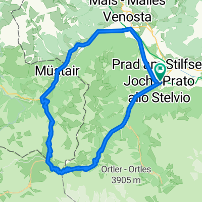
18
km
Distance
Distance
555
m
Ascent
Ascent
555
m
Descent
Descent
-:--
h
Duration
Duration
--
km/h
Avg. Speed
Avg. Speed
1080
m
Max. Elevation
Max. Elevation