Premium Badge Download on the App Store Get it on Google Play Turn-by-turn Navigation Offline Maps Bike Type Optimized Routing Premium Maps Custom Bike Computer Export Routes Route Previews Fall Detection Premium Support

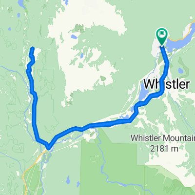
Cycling Route in Whistler, British Columbia, Canada

027 panamericana

0
Open this route in the Bikemap app

Open this route in the Bikemap app

Open this route in Bikemap Web

Open this route in Bikemap Web

111 km
Distance
831 m
Ascent
1346 m
Descent
-:-- h
Duration
-- km/h
Avg. Speed
--- m
Max. Elevation

About This Route

mcguire-brandywine falls-daisy lake-alice lake-eagle run-garibaldy highlands-squamish-darrell bay-shannon falls-murrin pp-browning lake-brittania beach-minaty bay-olivers landing-porteau-brunschwick beach-lions bay-strachan creek-sunset beach-horseshoe bay-west bay-north vancouver-downtown vancouver

This cycling route is ideal for: Road bike MTB

You will cycle on the following surfaces: Paved

Customize this cycling route with the Bikemap route planner.

Make it yours!

Did you know? You can use this route as a template in our cycling route planner if you don't wish to start from scratch. Customize it based on your needs to plan your perfect cycling tour.

Open it in the app