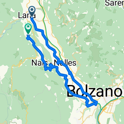
Lana - Trient
- 82.1 km
- 71 m
- 61 m
- Lana, Trentino-Alto Adige, Italy
A cycling route starting in Lana, Trentino-Alto Adige, Italy.
Overview
Anspruchsvolle Tour mit sehr technischen und schwierigen Downhillabschnitten. Nur für professionelle Mountainbiker!
Diese Tour startet direkt in unserem malerischen Dörfchen Völlan. Vom Hotel als Ausgangspunkt, geht es die Hauptstraße bergauf und vorbei an der Dorfkirche. Nun links abbiegen und der Markeriung 4 folgend zuerst auf Straße bis zu den Gallhöfen, dann in gleichbleibender Steigung auf Schotter bergauf. Vorbei an der Jägehütte (unbewirtschaftet) unter Kreuz- und Jochberg entlang fährt man zum Völlaner Joch (1.640m). Retour führt der Weg dann am Außerberg vorbei, Markierung Nr. 10, steil bis nach Platzers und von dort über den Weg mit der Nr. 7 bis nach Oberhauser. Danach wird der Weg, der zurück bis in die Ortschaft Völlan führt ordentlich steil, herrlich für alle Liebhaber von anspruchsvollen Trails.
created this 5 years ago
Route quality
Track
10.7 km
54 %
Quiet road
5.9 km
30 %
Paved
4.3 km
(22 %)
Unpaved
8.3 km
(42 %)
Gravel
3.6 km
18 %
Asphalt
3.2 km
16 %
Continue with Bikemap
You would like to ride Tour zum Völlaner Joch or customize it for your own trip? Here is what you can do with this Bikemap route:
Free trial for 3 days, or one-time payment. More about Bikemap Premium.
Discover more Premium features.
Get Bikemap PremiumFrom our community
Open it in the app