Premium Badge Download on the App Store Get it on Google Play Turn-by-turn Navigation Offline Maps Bike Type Optimized Routing Premium Maps Custom Bike Computer Export Routes Route Previews Fall Detection Premium Support

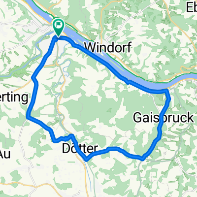
Cycling Route in Vilshofen, Bavaria, Germany

Radrundweg Donau-Inn-Rott-Vils

2
Open this route in the Bikemap app

Open this route in the Bikemap app

Open this route in Bikemap Web

Open this route in Bikemap Web

236 km
Distance
350 m
Ascent
350 m
Descent
-:-- h
Duration
-- km/h
Avg. Speed
--- m
Max. Elevation

About This Route

Bei dieser Tour sollten mindestens 4 Übernachtungen eingeplant werden.Die Radwanderung führt entlang von gängigen Flussrouten durch reizvolle Landschaften und ist im Bereich Donau/ Inn Überwiegend flach.Die Übergänge zu den anderen Flussen sind hügelig, aber mit ab und zu Schiebung zu schaffen.Für geübte Radler gar kein Problem!

You will cycle on the following surfaces: Paved Unpaved Gravel

Highlights Along The Route

Point of Interest

Parkmöglichkeit am Donauufer-Schiffsanleger.Achtung, Hochwasser beachten!

Customize this cycling route with the Bikemap route planner.

Make it yours!

Did you know? You can use this route as a template in our cycling route planner if you don't wish to start from scratch. Customize it based on your needs to plan your perfect cycling tour.

Open it in the app