- 46.3 km
- 468 m
- 469 m
- Zalalövő, Zala County, Hungary
Őrség 6 Kerékpárútvonal
A cycling route starting in Zalalövő, Zala County, Hungary.
Overview
About this route
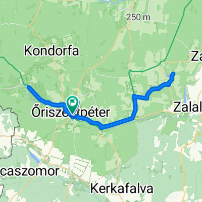
Ez az útvonal pedig Őriszentpéterről Kondorfán át a Hársas-tóhoz visz. A Hársas-patak táplálta mesterséges tó nemcsak a horgászok, hanem a fürdőzők és kirándulók körében is kedvelt. A tóparti sétány mellett épült ki az 1 km hosszú Hársas-tó tanösvény, ami a tó és környékének élővilágát, a vidék építészeti értékeit mutatja be. Visszaúton Szalafő felé vehetjük az irányt, Farkasfán át, az Őserdőn keresztül a Szala forrásáig, a Fekete-tó misztikus vidékére, a Pityerszeri Népi Műemlékegyütteshez, hogy aztán a Szala folyásirányát követve visszatérjünk kiindulási pontunkhoz, az Őrség fővárosába.
- -:--
- Duration
- 37.4 km
- Distance
- 290 m
- Ascent
- 290 m
- Descent
- ---
- Avg. speed
- ---
- Max. altitude
created this 5 years ago
Route quality
Waytypes & surfaces along the route
Waytypes
Track
3.7 km
(10 %)
Quiet road
2.6 km
(7 %)
Undefined
31 km
(83 %)
Surfaces
Paved
25.4 km
(68 %)
Asphalt
24.3 km
(65 %)
Concrete
1.1 km
(3 %)
Undefined
12 km
(32 %)
Continue with Bikemap
Use, edit, or download this cycling route
You would like to ride Őrség 6 Kerékpárútvonal or customize it for your own trip? Here is what you can do with this Bikemap route:
Free features
- Save this route as favorite or in collections
- Copy & plan your own version of this route
- Sync your route with Garmin or Wahoo
Premium features
Free trial for 3 days, or one-time payment. More about Bikemap Premium.
- Navigate this route on iOS & Android
- Export a GPX / KML file of this route
- Create your custom printout (try it for free)
- Download this route for offline navigation
Discover more Premium features.
Get Bikemap PremiumFrom our community
Other popular routes starting in Zalalövő
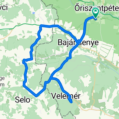
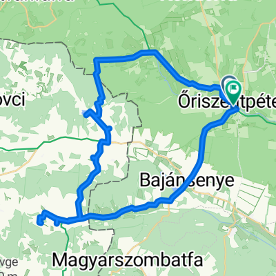
- Őriszentpéter➡️Hodos➡️ Pártosfalva➡️Magyarszombatfa➡️Velem➡️Őriszentpéter🚴♀️
- Route in Őriszentpéter
- 32.2 km
- 194 m
- 196 m
- Zalalövő, Zala County, Hungary
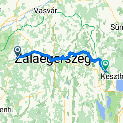
- Zalalövő - Hévíz
- 64.1 km
- 759 m
- 808 m
- Zalalövő, Zala County, Hungary
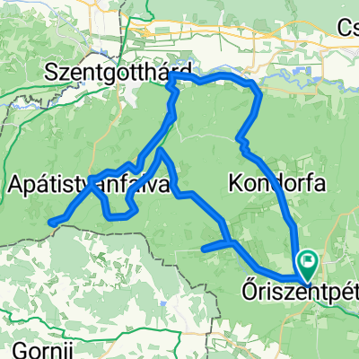
- Őriszentpéter 1
- 60.5 km
- 652 m
- 652 m
- Zalalövő, Zala County, Hungary
- Városszer - Siskaszer 13/B
- 60.7 km
- 368 m
- 401 m
- Zalalövő, Zala County, Hungary
- Őrség 1
- 41.8 km
- 427 m
- 427 m
- Zalalövő, Zala County, Hungary
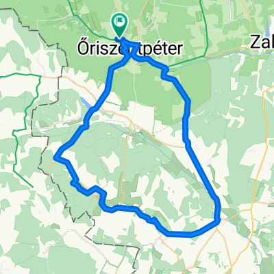
- Route to Őriszentpéter
- 42 km
- 280 m
- 274 m
- Zalalövő, Zala County, Hungary
- Őrség_Koko_3
- 67.2 km
- 533 m
- 535 m
- Zalalövő, Zala County, Hungary
Open it in the app


