Premium Badge Download on the App Store Get it on Google Play Turn-by-turn Navigation Offline Maps Bike Type Optimized Routing Premium Maps Custom Bike Computer Export Routes Route Previews Fall Detection Premium Support

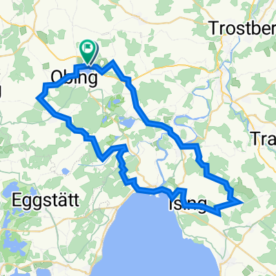
Cycling Route in Obing, Bavaria, Germany

Tour 2: Kirchenweg Obing - Pittenhart

2
Open this route in the Bikemap app

Open this route in the Bikemap app

Open this route in Bikemap Web

Open this route in Bikemap Web

17 km
Distance
269 m
Ascent
269 m
Descent
-:-- h
Duration
-- km/h
Avg. Speed
--- m
Max. Elevation

About This Route

Start an der Pfarrkirche Obing - Kapellen in Ilzham - Kirche in Albertaich - Reiter-Kapelle - Scheitzenberg (höchste Erhebung in der Gemeinde Obing) - Kapelle Diepoldsberg - Kirche in Diepoldsberg - Kapelle in Aindorfham - Kirche in Pittenhart - Pestkapelle und Pest-Friedhof - ev. Johanneskirche Obing

Customize this cycling route with the Bikemap route planner.

Make it yours!

Did you know? You can use this route as a template in our cycling route planner if you don't wish to start from scratch. Customize it based on your needs to plan your perfect cycling tour.

Open it in the app