Premium Badge Download on the App Store Get it on Google Play Turn-by-turn Navigation Offline Maps Bike Type Optimized Routing Premium Maps Custom Bike Computer Export Routes Route Previews Fall Detection Premium Support

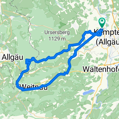
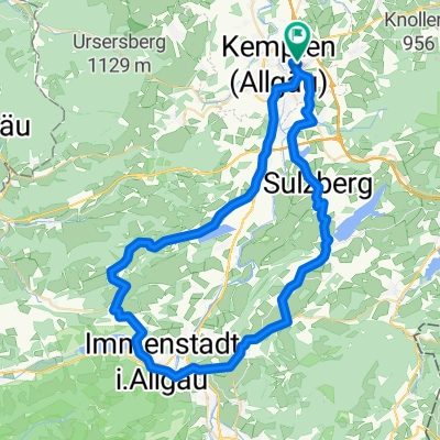
Cycling Route in Kempten (Allgäu), Bavaria, Germany

Allgäu - Kempten Lindau (2Tg)

0
Open this route in the Bikemap app

Open this route in the Bikemap app

Open this route in Bikemap Web

Open this route in Bikemap Web

107 km
Distance
1400 m
Ascent
1703 m
Descent
-:-- h
Duration
-- km/h
Avg. Speed
--- m
Max. Elevation

About This Route

Uns erwartet eine Radtour durch die Allgäuer Voralpenlandschaft über Oberstaufen bis nach Lindau. Wir tangieren das Zentrum des Naturparks Nagelfluhkette mit dem Hochgrat als höchster Erhebung. Weiter geht’s über die Grenze nach Österreich und schließlich nach Lindau, dem Ziel der Tour. (Tourbeschreibung unter: thod_er@gmx.de)

This cycling route is ideal for: City bike

You will cycle on the following surfaces: Paved Unpaved

Customize this cycling route with the Bikemap route planner.

Make it yours!

Did you know? You can use this route as a template in our cycling route planner if you don't wish to start from scratch. Customize it based on your needs to plan your perfect cycling tour.

Open it in the app