- 304.5 km
- 74 m
- 922 m
- Thaur, Tyrol, Austria
Isarradweg - vom Karwendel bis nach Deggendorf
A cycling route starting in Thaur, Tyrol, Austria.
Overview
About this route
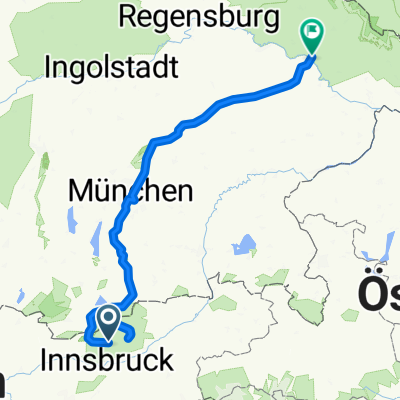
Complete Isar bike path from the source in the Karwendel mountains to Scharnitz (Austria) all the way to the confluence with the Danube at Deggendorf.
This is my own full GPS record of the tour from June 2018, with subsequent corrections for outliers and errors.
The Isar bike path offers impressive, unforgettable stops: the Isar as a bright green river interrupted by white gravel banks. Starting in the Alps at the foot of the Karwendel mountains, ending at the confluence with the Danube at Deggendorf as the gateway to the Bavarian Forest, and in between the world city of Munich as well as numerous idyllic floodplain landscapes along the way.
Route description:
Isar source -> Scharnitz -> Mittenwald -> Krün -> Sylvenstein -> Lenggries -> Bad Tölz -> Geretsried -> Wolfratshausen -> Puppling -> Schäftlarn monastery -> Grünwald -> Munich with city center and English Garden -> Ismaning -> Garching -> Freising -> Moosburg -> Landshut -> Wörth -> Dingolfing -> Landau -> Plattling -> Main Isar confluence -> Deggendorf
- -:--
- Duration
- 304.5 km
- Distance
- 74 m
- Ascent
- 922 m
- Descent
- ---
- Avg. speed
- ---
- Max. altitude
created this 6 years ago
Route photos
Route quality
Waytypes & surfaces along the route
Waytypes
Track
103.5 km
(34 %)
Quiet road
63.9 km
(21 %)
Surfaces
Paved
155.3 km
(51 %)
Unpaved
130.9 km
(43 %)
Asphalt
143.1 km
(47 %)
Gravel
70 km
(23 %)
Route highlights
Points of interest along the route

Point of interest after 0 km
Isar-Ursprung
Point of interest after 18.9 km
Mittenwald

Point of interest after 52.2 km
Sylvenstein-Speicher
Point of interest after 65.6 km
Lenggries
Point of interest after 74.2 km
Bad Tölz
Point of interest after 98.2 km
Wolfratshausen

Point of interest after 100.1 km
Touristen-Floßfahrten
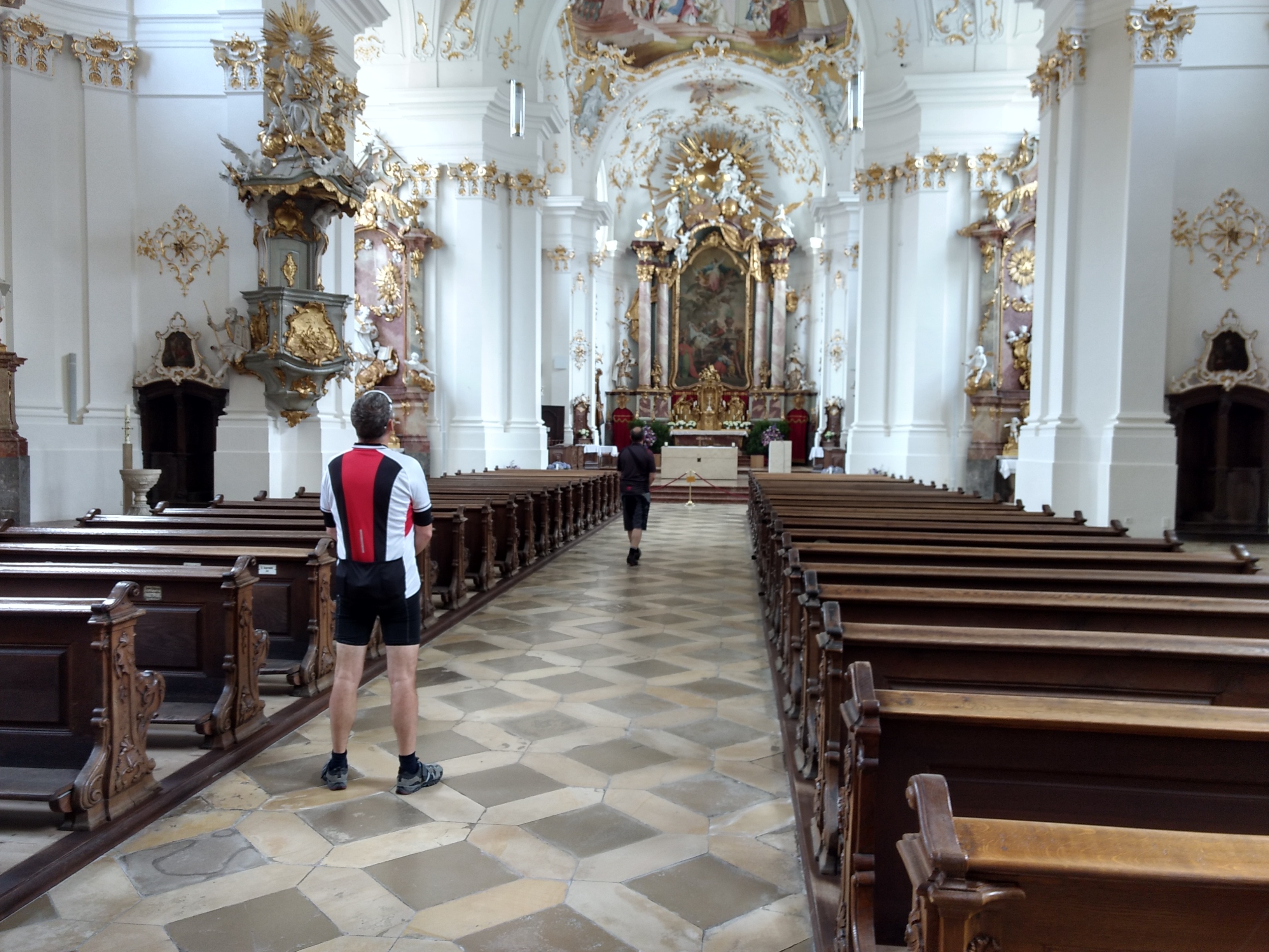
Point of interest after 109.1 km
Kloster Schäftlarn
Point of interest after 132.3 km
Marienplatz

Point of interest after 138 km
Engl. Garten - Biergarten Seehaus

Point of interest after 139.2 km
Chinesischer Turm - Biergarten
Point of interest after 168.7 km
Freising
Point of interest after 189.5 km
Moosburg

Accommodation after 211 km
Hotel Michel ****, Landshut
Point of interest after 213.8 km
Burg Trausnitz, Landshut
Point of interest after 248.8 km
Dingolfing
Point of interest after 267 km
Landau
Point of interest after 289.9 km
Plattling

Point of interest after 299.9 km
Isar-Mündung
Point of interest after 302.7 km
Deggendorf
Continue with Bikemap
Use, edit, or download this cycling route
You would like to ride Isarradweg - vom Karwendel bis nach Deggendorf or customize it for your own trip? Here is what you can do with this Bikemap route:
Free features
- Save this route as favorite or in collections
- Copy & plan your own version of this route
- Split it into stages to create a multi-day tour
- Sync your route with Garmin or Wahoo
Premium features
Free trial for 3 days, or one-time payment. More about Bikemap Premium.
- Navigate this route on iOS & Android
- Export a GPX / KML file of this route
- Create your custom printout (try it for free)
- Download this route for offline navigation
Discover more Premium features.
Get Bikemap PremiumFrom our community
Other popular routes starting in Thaur
- Isarradweg - vom Karwendel bis nach Deggendorf
- Isarradweg incl. Engtal
- 347.4 km
- 465 m
- 1,305 m
- Thaur, Tyrol, Austria
- Vers. 1CR Mittenwald, Isarquelle, Hallangerhaus, Überschalljoch
- 116.7 km
- 1,200 m
- 1,867 m
- Thaur, Tyrol, Austria
- 1.-Isarradweg
- 325.4 km
- 63 m
- 908 m
- Thaur, Tyrol, Austria
- Isarradweg
- 311.5 km
- 133 m
- 976 m
- Thaur, Tyrol, Austria
- Kastenalm 145, Scharnitz nach Auweg 524, Scharnitz
- 13.8 km
- 66 m
- 317 m
- Thaur, Tyrol, Austria
- Isarradweg - GPX
- 336.3 km
- 2,327 m
- 3,175 m
- Thaur, Tyrol, Austria
- Isarradweg
- 309.3 km
- 233 m
- 1,124 m
- Thaur, Tyrol, Austria
Open it in the app


