Premium Badge Download on the App Store Get it on Google Play Turn-by-turn Navigation Offline Maps Bike Type Optimized Routing Premium Maps Custom Bike Computer Export Routes Route Previews Fall Detection Premium Support

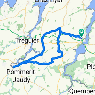
Cycling Route in Lézardrieux, Brittany Region, France

Toulgoulic - Corong - Loquirec - 26 Sept. 17

0
Open this route in the Bikemap app

Open this route in the Bikemap app

Open this route in Bikemap Web

Open this route in Bikemap Web

220 km
Distance
974 m
Ascent
973 m
Descent
-:-- h
Duration
-- km/h
Avg. Speed
--- m
Max. Elevation

About This Route

Boucle en Arcoat : Lézardrieux - Pleudaniel - Pontrieux – St Clet – Guimgamp – Bourbriac – Col de Roc’h C’hlaz Vihan ( 300 m ) – Kerien – Lanrivain – Gorges de Toulgoulic & St Antoine – Peumerit-Quintin  – Loc’h – St Nicodème – Gorges du Corong – Forêt de Duault – St Servais – Lannedan ( éoliennes ) – Burthulet ( Chapelle ) – Bulat-Pestivien – Ste Anne ( Chapelle ) – Callac - Lannéanou – Plougonven – Plouigneau – Lanmeur – Guimaëc ( église ) - Locquirec – Corniche d’Armorique – St Efflam – St Michel en Grêve – Lannion – Pont-Losquet – Tréguier – Trédarzec – Pleumeur-Gautier – Lézardrieux.

This cycling route is ideal for: Road bike MTB

You will cycle on the following surfaces: Paved Unpaved

Customize this cycling route with the Bikemap route planner.

Make it yours!

Did you know? You can use this route as a template in our cycling route planner if you don't wish to start from scratch. Customize it based on your needs to plan your perfect cycling tour.

Open it in the app