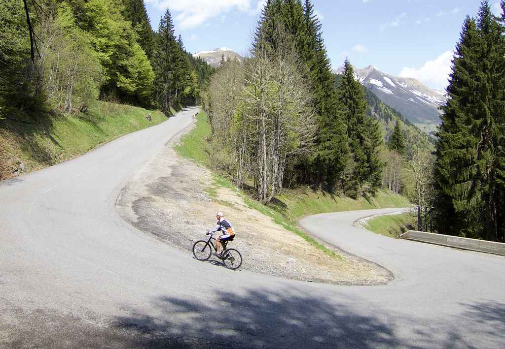
Premium Badge Download on the App Store Get it on Google Play Turn-by-turn Navigation Offline Maps Bike Type Optimized Routing Premium Maps Custom Bike Computer Export Routes Route Previews Fall Detection Premium Support

Cycling Route in Taninges, Auvergne-Rh么ne-Alpes, France

Col de la Ramaz and Col des Charmettes

1
Open this route in the Bikemap app

Open this route in the Bikemap app

Open this route in Bikemap Web

Open this route in Bikemap Web

47 km
Distance
1462 m
Ascent
1462 m
Descent
-:-- h
Duration
-- km/h
Avg. Speed
--- m
Max. Elevation

About This Route

Ramaz will be in the Tour in 2016. 聽This is the steep side they will descend. 聽The final climbing to Charmettes聽is on a gravel road. 聽

This cycling route is ideal for: MTB City bike

You will cycle on the following surfaces: Paved Gravel

Highlights Along The Route

Point of Interest

Col de Cordon Old ride details: http://www.cycling-challenge.com/col-de-chavan-col-de-la-ramaz-and-col-de-cordon/

Point of Interest

Col des Charmettes - 1656 metres

Point of Interest

Col de la Ramaz

More highlights are available with Bikemap for iOS and Android.

Route Photos

Customize this cycling route with the Bikemap route planner.

Make it yours!

Did you know? You can use this route as a template in our cycling route planner if you don't wish to start from scratch. Customize it based on your needs to plan your perfect cycling tour.

Open it in the app