Premium Badge Download on the App Store Get it on Google Play Turn-by-turn Navigation Offline Maps Bike Type Optimized Routing Premium Maps Custom Bike Computer Export Routes Route Previews Fall Detection Premium Support

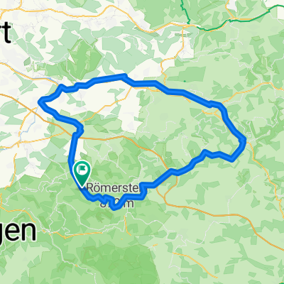
Cycling Route in Erkenbrechtsweiler, Baden-Württemberg, Germany

14 km Oberlenningen - Engelhof - Oberlenningen

4
Open this route in the Bikemap app

Open this route in the Bikemap app

Open this route in Bikemap Web

Open this route in Bikemap Web

14 km
Distance
469 m
Ascent
472 m
Descent
-:-- h
Duration
-- km/h
Avg. Speed
--- m
Max. Elevation

About This Route

Bhf Oberlenningen, rechts auf Lenningertal Radweg, Heerweg folgen, dann ausserhalb des Ortes links. Asphalt bis auf Hochebene. Auf der Hochebene geschotterten Weg links nehmen und folgen. Am Engelhof (Bauernhof) links, zunächst leicht abfallend dann zunehmend sehr steile Abfahrt auf Schotter. An der Wegekreuzung links, der Rest der Strecke weder auf Asphalt. Im Ort Friedensstrasse links, die vor dem Bahnübergang wieder auf den Lenningertal Radweg mündet.

This cycling route is ideal for: MTB

You will cycle on the following surfaces: Paved Gravel

Customize this cycling route with the Bikemap route planner.

Make it yours!

Did you know? You can use this route as a template in our cycling route planner if you don't wish to start from scratch. Customize it based on your needs to plan your perfect cycling tour.

Open it in the app