Premium Badge Download on the App Store Get it on Google Play Turn-by-turn Navigation Offline Maps Bike Type Optimized Routing Premium Maps Custom Bike Computer Export Routes Route Previews Fall Detection Premium Support

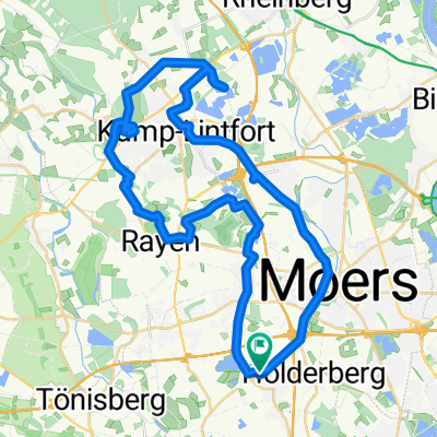
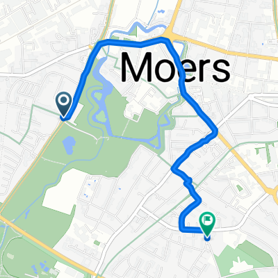
Cycling Route in Moers, North Rhine-Westphalia, Germany

RTF NEUKIRCHEN-VLUYN 2009 - 111 km – bearbeitet

2
Open this route in the Bikemap app

Open this route in the Bikemap app

Open this route in Bikemap Web

Open this route in Bikemap Web

111 km
Distance
257 m
Ascent
259 m
Descent
-:-- h
Duration
-- km/h
Avg. Speed
--- m
Max. Elevation

About This Route

<span style="font-family: "Arial","sans-serif"; font-size: 12pt;"><span style="color: #000000;">RTF NEUKIRCHEN-VLUYN 2009 - 111 km – bearbeitet </span></span>

<span style="font-family: "Arial","sans-serif"; color: black; font-size: 12pt;"> </span>

<span style="font-family: "Arial","sans-serif"; color: black; font-size: 12pt;">GPS-Daten der RTF. Die Daten sind bearbeitet. Die Zu- und Abfahrten zu Verpflegungsstellen wurden herausgenommen. Start und Ziel so gestaltet, dass sofort Anfang und Ende erkannt und als Track nachgefahren werden kann.</span><span style="font-family: "Arial","sans-serif"; font-size: 12pt;"></span>

This cycling route is ideal for: Road bike

You will cycle on the following surfaces: Paved

Customize this cycling route with the Bikemap route planner.

Make it yours!

Did you know? You can use this route as a template in our cycling route planner if you don't wish to start from scratch. Customize it based on your needs to plan your perfect cycling tour.

Open it in the app