Premium Badge Download on the App Store Get it on Google Play Turn-by-turn Navigation Offline Maps Bike Type Optimized Routing Premium Maps Custom Bike Computer Export Routes Route Previews Fall Detection Premium Support

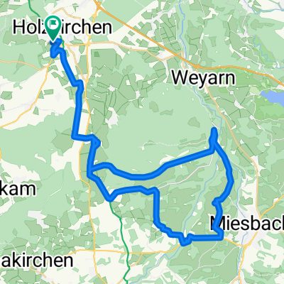
Cycling Route in Holzkirchen, Bavaria, Germany

2x Mangfalltal und Taubenberg

1
Open this route in the Bikemap app

Open this route in the Bikemap app

Open this route in Bikemap Web

Open this route in Bikemap Web

39 km
Distance
338 m
Ascent
253 m
Descent
-:-- h
Duration
-- km/h
Avg. Speed
785 m
Max. Elevation

About This Route

2x durchs Mangfalltal und auf den Taubenberg

- ideal für eine ca. 2 bis maximal 3-stündige Abendrunde

Verlauf: Holzkirchen-Föching-Fellach-Sollach-Mangfalltal I - Kleinhöhenkirchen-Sonderdilching-Fentbach-Weyarn- Mangfalltal II - Darching-Schmidham-Osterwarngau-Taubenberg-Oberwarngau-Thannseidl-Großhartpenning-Holzkirchen

This cycling route is ideal for: MTB

You will cycle on the following surfaces: Unpaved Gravel

Customize this cycling route with the Bikemap route planner.

Make it yours!

Did you know? You can use this route as a template in our cycling route planner if you don't wish to start from scratch. Customize it based on your needs to plan your perfect cycling tour.

Open it in the app