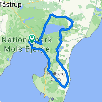
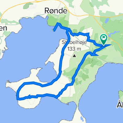
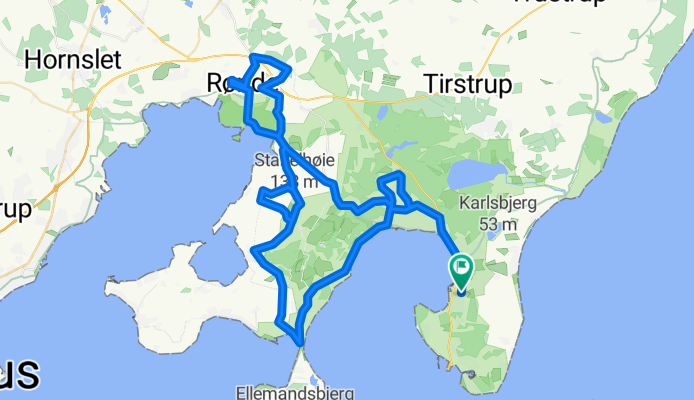
Cycling Route in Ebeltoft, Central Jutland, Denmark
Ebeltoft cykelmotion - store bakketur
1

Open this route in the Bikemap app
Open this route in Bikemap Web
79
km
Distance
Distance
589
m
Ascent
Ascent
590
m
Descent
Descent
-:--
h
Duration
Duration
--
km/h
Avg. Speed
Avg. Speed
---
m
Max. Elevation
Max. Elevation