Premium Badge Download on the App Store Get it on Google Play Turn-by-turn Navigation Offline Maps Bike Type Optimized Routing Premium Maps Custom Bike Computer Export Routes Route Previews Fall Detection Premium Support

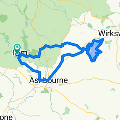
Cycling Route in Ashbourne, England, United Kingdom

Tissington and High Peak Trails (and the roady thing to join up the ends)

2
Open this route in the Bikemap app

Open this route in the Bikemap app

Open this route in Bikemap Web

Open this route in Bikemap Web

56 km
Distance
437 m
Ascent
437 m
Descent
-:-- h
Duration
-- km/h
Avg. Speed
--- m
Max. Elevation

About This Route

Started at Ashbourne, up the Tissington trail which has a very very slight, quite annoying gradient for about the first five miles. Eases off and the rest is dead flat, plenty of little rest areas including Hartington Signal Box. Up to Parsely Hay, do a 180 and come back down the High Peak Trail which is equally flat and a good surface. Two slopes near Cromford end, both in riders favour this way around! Near the end of the second slope, fall off the trail to the right and hit the roads for the last leg back to Ashbourne - much hillier (a couple of nice downhill sections) and drivers are idiots. A couple of pubs if you're that way inclined....

(cloned from route 636752)

This cycling route is ideal for: MTB

You will cycle on the following surfaces: Paved Gravel

Customize this cycling route with the Bikemap route planner.

Make it yours!

Did you know? You can use this route as a template in our cycling route planner if you don't wish to start from scratch. Customize it based on your needs to plan your perfect cycling tour.

Open it in the app