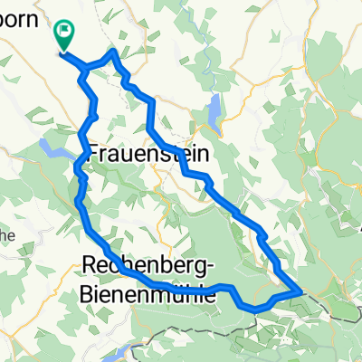
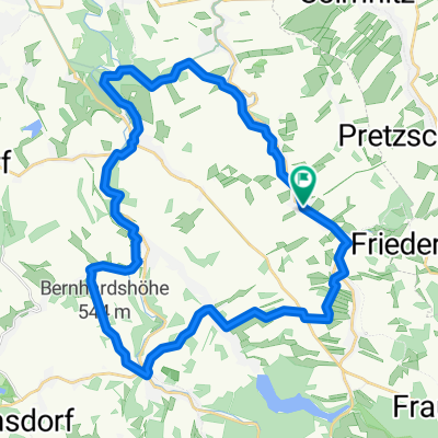
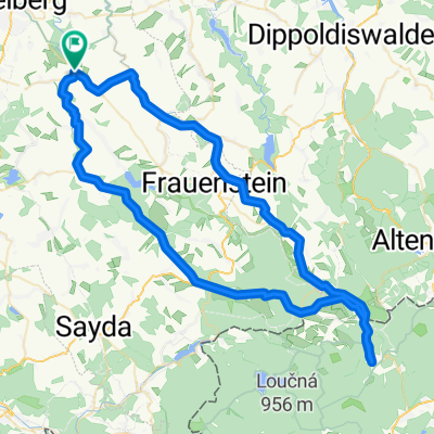
- 52.3 km
- 772 m
- 775 m
- Lichtenberg, Saxony, Germany
Bäche - Teiche - Mühlen
A cycling route starting in Lichtenberg, Saxony, Germany.
Overview
About this route
Lichtenberg station - left to Wegmannsdorf/Müdisdorf
continue to Großhartmannsdorf (large pond with pond mill / middle pond with bathing possibility)
left - Großhartmannsdorf/Mayorratsgut (museum/café)
continue on dirt track to the Kunstgraben area
continue to Obersaida/Mittelsaida/Niedersaida (always follow the village street)
cross B101 to Haselbach
continue to Dörntal
Dörntal/Braunmühle (historic mill/inn)
Dörntal/fortified church
continue to Voigtsdorf
Voigtsdorf/Adelsklause (tip! cakes at Adelheid)
at village end left path to Wolfsgrund
Wolfsgrund entrance right to Dorfchemnitz
Dorfchemnitz/Eisenhammer (museum)
continue on Talstraße along the Chemnitzbach to Mulda
Mulda/mill construction (workshop visit possible)
Mulda/sawmill (historic board mill)
Destination Mulda station
- -:--
- Duration
- 45.5 km
- Distance
- 506 m
- Ascent
- 460 m
- Descent
- ---
- Avg. speed
- ---
- Max. altitude
created this 11 years ago
Route quality
Waytypes & surfaces along the route
Waytypes
Road
27.8 km
(61 %)
Quiet road
11.8 km
(26 %)
Surfaces
Paved
41 km
(90 %)
Unpaved
0.9 km
(2 %)
Asphalt
39.2 km
(86 %)
Concrete
1.8 km
(4 %)
Continue with Bikemap
Use, edit, or download this cycling route
You would like to ride Bäche - Teiche - Mühlen or customize it for your own trip? Here is what you can do with this Bikemap route:
Free features
- Save this route as favorite or in collections
- Copy & plan your own version of this route
- Sync your route with Garmin or Wahoo
Premium features
Free trial for 3 days, or one-time payment. More about Bikemap Premium.
- Navigate this route on iOS & Android
- Export a GPX / KML file of this route
- Create your custom printout (try it for free)
- Download this route for offline navigation
Discover more Premium features.
Get Bikemap PremiumFrom our community
Other popular routes starting in Lichtenberg
- Route in Bobritzsch-Hilbersdorf
- Route in Bobritzsch-Hilbersdorf
- 33.6 km
- 525 m
- 526 m
- Lichtenberg, Saxony, Germany
- ET2014_2. Etappe
- 13.3 km
- 167 m
- 220 m
- Lichtenberg, Saxony, Germany
- Nove Mesto.gpx
- 79.6 km
- 597 m
- 595 m
- Lichtenberg, Saxony, Germany
- Knödelrunde.gpx
- 74.9 km
- 683 m
- 684 m
- Lichtenberg, Saxony, Germany
- Route um Bobritzsch-Hilbersdorf
- 31.2 km
- 244 m
- 247 m
- Lichtenberg, Saxony, Germany
- Bäche - Teiche - Mühlen
- 45.5 km
- 506 m
- 460 m
- Lichtenberg, Saxony, Germany
- Bobritzsch, Burkersdorf Talsperre, Walkmühle Frauenstein, Burkersdorf, Bobritzsch
- 28.3 km
- 434 m
- 433 m
- Lichtenberg, Saxony, Germany
Open it in the app


