Cycling Route in Versonnex, Auvergne-Rhône-Alpes, France
Le Tour du Chat
0

Open this route in the Bikemap app

Open this route in Bikemap Web
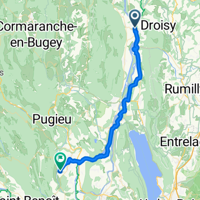
85
km
Distance
Distance
608
m
Ascent
Ascent
610
m
Descent
Descent
-:--
h
Duration
Duration
--
km/h
Avg. Speed
Avg. Speed
---
m
Max. Elevation
Max. Elevation