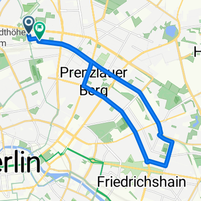
Cycling Route in Gesundbrunnen, Land Berlin, Germany
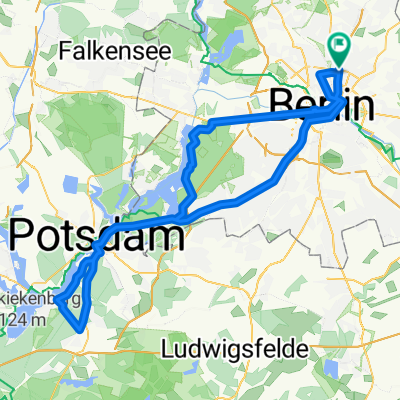
Berliner Mauerweg Nordroute
3

Open this route in the Bikemap app

Open this route in Bikemap Web
49
km
Distance
Distance
123
m
Ascent
Ascent
137
m
Descent
Descent
-:--
h
Duration
Duration
--
km/h
Avg. Speed
Avg. Speed
---
m
Max. Elevation
Max. Elevation