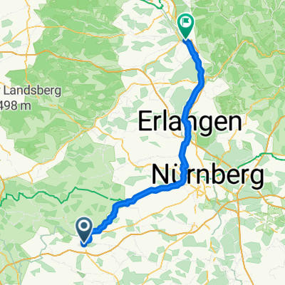
Ansbach - Stein
- 72.7 km
- 335 m
- 420 m
- Ansbach, Bavaria, Germany
A cycling route starting in Ansbach, Bavaria, Germany.
Overview
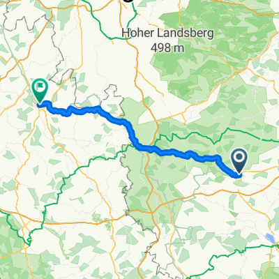
Der Markgrafen-Radweg startet vor der Residenz in Ansbach, schwenkt auf ein kurzes Stück Richtung Südosten an der B13 entlang, um dann bergauf dem Lauf der Bundesstraße 14 Richtung Nürnberg zu folgen. In Katterbach wird die B14 überquert und der Weg verläuft weiter auf wenig befahrenen Straßen und Feldwegen mehr bergab als bergauf. Ab Bruckberg folgt der Weg der Staatsstraße auf Sonderwegen. In Münchzell mündet der Markgrafen-Radweg in den Bibert-Radweg, der Richtung Fürth oder Richtung Flachslanden fortgesetzt werden kann.
created this 16 years ago
Route quality
Quiet road
7.4 km
38 %
Track
6.2 km
32 %
Paved
11.2 km
(58 %)
Unpaved
2.7 km
(14 %)
Asphalt
10.6 km
55 %
Loose gravel
1.7 km
9 %
Continue with Bikemap
You would like to ride Markgrafen-Radweg Ansbach-Münchzell or customize it for your own trip? Here is what you can do with this Bikemap route:
Free trial for 3 days, or one-time payment. More about Bikemap Premium.
Discover more Premium features.
Get Bikemap PremiumFrom our community
Open it in the app