Premium Badge Download on the App Store Get it on Google Play Turn-by-turn Navigation Offline Maps Bike Type Optimized Routing Premium Maps Custom Bike Computer Export Routes Route Previews Fall Detection Premium Support

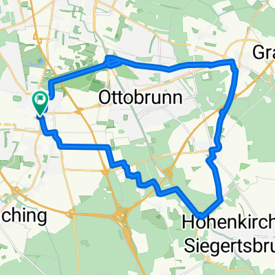
Cycling Route in Unterhaching, Bavaria, Germany

Starnberger See, Ammersee & Wörthsee

0
Open this route in the Bikemap app

Open this route in the Bikemap app

Open this route in Bikemap Web

Open this route in Bikemap Web

170 km
Distance
1069 m
Ascent
1006 m
Descent
-:-- h
Duration
-- km/h
Avg. Speed
708 m
Max. Elevation

About This Route

Eine Tour durchs Starnberger Land, die um den Starnberger See,  weitläufig nach Norden um den Ammersee und den Wörthsee herum führt. Sowohl die Landschaft  als auch die vielen kleinen und mittelgroßen Rampen machen viel Spaß. Und es gibt auch immer wieder gut asphaltierte Radwege. In Starnberg bin ich dann wohl nicht so gefahren, wie ich es erhofft hatte. Da besteht Änderungsbedarf. Also Bitte, ran an den Speck! :-) Ich bin für alle Vorschläge offen.

This cycling route is ideal for: Road bike

You will cycle on the following surfaces: Paved

Customize this cycling route with the Bikemap route planner.

Make it yours!

Did you know? You can use this route as a template in our cycling route planner if you don't wish to start from scratch. Customize it based on your needs to plan your perfect cycling tour.

Open it in the app