Premium Badge Download on the App Store Get it on Google Play Turn-by-turn Navigation Offline Maps Bike Type Optimized Routing Premium Maps Custom Bike Computer Export Routes Route Previews Fall Detection Premium Support

Cycling Route in Le Grand-Bornand, Auvergne-Rh么ne-Alpes, France

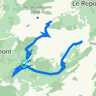
COL DES ANNES (por Le Grand-Bornand)

0
Open this route in the Bikemap app

Open this route in the Bikemap app

Open this route in Bikemap Web

Open this route in Bikemap Web

11 km
Distance
822 m
Ascent
39 m
Descent
1:13 h
Duration
-- km/h
Avg. Speed
1716 m
Max. Elevation

About This Route

El Col des Annes, ubicado en los Alpes franceses, es un puerto de monta帽a pintoresco en la regi贸n de Alta Saboya, dentro del macizo de Aravis. Geogr谩ficamente, se encuentra en el territorio de Le Grand-Bornand, una comuna reconocida por su atractivo tur铆stico y su rica tradici贸n alpina. Este puerto, con una altitud de 1.720 metros, ofrece vistas espectaculares de los Alpes, incluyendo el imponente Pointe Perc茅e, el punto m谩s alto del macizo de Aravis.

Route Photos

Customize this cycling route with the Bikemap route planner.

Make it yours!

Did you know? You can use this route as a template in our cycling route planner if you don't wish to start from scratch. Customize it based on your needs to plan your perfect cycling tour.

Open it in the app