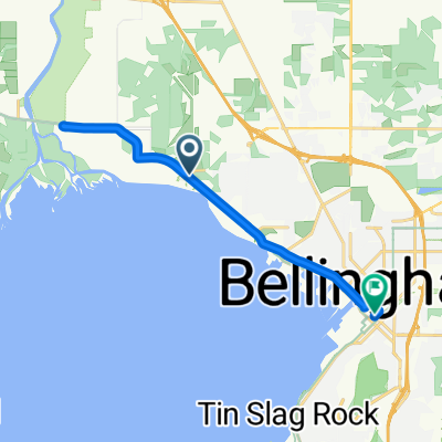
Airport Dr, Bellingham to 2858 W Maplewood Ave, Bellingham
- 33.5 km
- 393 m
- 414 m
- Marietta-Alderwood, Washington, United States
A cycling route starting in Marietta-Alderwood, Washington, United States.
Overview
Overall the ride was less painful than expected. There was a lot of bicycle lane and mostly reasonably manageable ups and downs. Though the last part when trying to find our AirBNB lodging for the night put us on some pretty steep inclines, a couple of which we pedaled up needlessly as things turned out. Crossing the border, the lady at the passport check put us in front of a bunch of cars and happily told us not to worry about them as she chatted with us a bit. She apparently hadn’t been at this post too long as she wasn’t aware of the RSVP ride that comes through this Lynden checkpoint every summer. The ride up to the checkpoint was really nice, pretty much along only roads with good bicycle lanes or very little traffic (Double Ditch Road). Most of it was also a bit better than half-way scenic with a lot of agricultural land and some mountain peaks in the background. From the checkpoint, there was more pretty good rural roads until getting into Murrayville and Langley City. From there until the end of our ride, we were pretty much solidly in urban areas. Plenty of cycling path (British Columbia is to be applauded on the extent and for the most part the quality of their cycling path system) that kept us comfortable on pretty much all roads. The only slightly uncomfortable section was the cycling path during the few miles we were riding on the Fraser Highway. While the cycling lane was good, both it and the car lanes were a bit narrower than usual, which meant that passing cars were normally passing within a couple of feet us of. The cycling path over the Fraser River bridge was spectacular. And the Second Narrows bridge was pretty good as well. Getting into Vancouver itself after the Fraser River bridge, we were on Lougheed Highway seemingly forever. While this was a heavily trafficked road, the cycling lane was excellent. After such a long warm ride, we would have truly appreciated a place to stay that didn’t require a heck of a climb to get to…especially with our somewhat heavy panniers. However, our North Vancouver AirBNB was in Central Lonsdale and our meanderings to find the place took us to almost 200 meters. A rough end to a great day.
created this 1 year ago


Route quality
Road
23.4 km
(22 %)
Cycleway
14.9 km
(14 %)
Paved
77.7 km
(73 %)
Asphalt
70.3 km
(66 %)
Concrete
6.4 km
(6 %)
Continue with Bikemap
You would like to ride Bellingham to Vancouver or customize it for your own trip? Here is what you can do with this Bikemap route:
Free trial for 3 days, or one-time payment. More about Bikemap Premium.
Discover more Premium features.
Get Bikemap PremiumFrom our community
Open it in the app