Cycling Route in Ugine, Auvergne-Rhône-Alpes, France
test_Ugine_2308
0

Open this route in the Bikemap app

Open this route in Bikemap Web
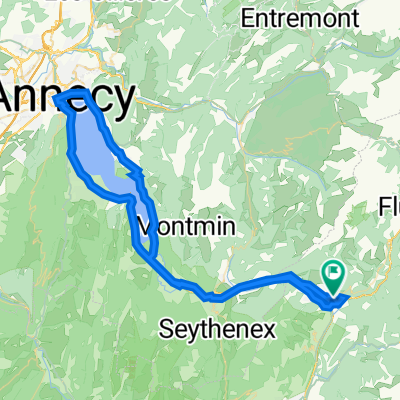
72
km
Distance
Distance
1280
m
Ascent
Ascent
1280
m
Descent
Descent
-:--
h
Duration
Duration
--
km/h
Avg. Speed
Avg. Speed
920
m
Max. Elevation
Max. Elevation