Premium Badge Download on the App Store Get it on Google Play Turn-by-turn Navigation Offline Maps Bike Type Optimized Routing Premium Maps Custom Bike Computer Export Routes Route Previews Fall Detection Premium Support

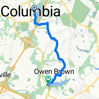
Cycling Route in Columbia, Maryland, United States of America

4930 Walking Stick Rd, Ellicott City to 3670 Westmoreland Dr, Mays Landing

0
Open this route in the Bikemap app

Open this route in the Bikemap app

Open this route in Bikemap Web

Open this route in Bikemap Web

400 km
Distance
3342 m
Ascent
3452 m
Descent
25:14 h
Duration
15.8 km/h
Avg. Speed
284 m
Max. Elevation
Customize this cycling route with the Bikemap route planner.

Make it yours!

Did you know? You can use this route as a template in our cycling route planner if you don't wish to start from scratch. Customize it based on your needs to plan your perfect cycling tour.

Open it in the app