Marcha en bici por un Hospital del Henares público y de calidad.
- 12.2 km
- 120 m
- 116 m
- Coslada, Madrid, Spain
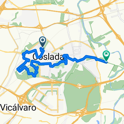
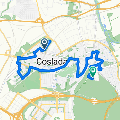
A cycling route starting in Coslada, Madrid, Spain.
Overview
From Coslada to Valverde de Alcalá via Torrejón de Ardoz and Torres de la Alameda. From Valverde de Alcalá, a challenging climb to Hueros and descent towards Coslada.
created this 14 years ago
Route quality
Track
28.2 km
44 %
Pedestrian area
5.8 km
9 %
Paved
14.1 km
(22 %)
Unpaved
22.4 km
(35 %)
Ground
14.8 km
23 %
Paved (undefined)
8.3 km
13 %
Route highlights
Salimos desde la Repsol de la Avenida de José Gárate de Coslada, en dirección al Parque de los Chopos de San Fernando de Henares.
Una vez superamos el Puente Verde, giramos a la izquierda y cruzamos la M-45 en dirección al torrejonero Barrio del Castillo.
Tras superar el río Henares, continuamos en dirección al Cerro del Viso, pasando también por debajo de la M-203.
Dejamos el Cerro del Viso a nuestra derecha y seguimos de frente, en dirección a Torres de la Alameda.
Tunel bajo la M-224. Subida en dirección a las vías del AVE Madrid - Barcelona.

Vías del AVE y descenso hacia Torres de la Alameda.
Tramo asfaltado.
Cruce. Giramos a la izquierda en dirección a Valverde de Alcalá.
Antes de abandonar Torres por carretera, giramos en la última calle del pueblo que se abre a la derecha, para, automáticamente después, tomar la pista que nace a la izquierda, ya de tierra.
Este camino no tiene pérdida, todo recto y llegamos a Valverde de Alcalá.
Una vez tocamos zona urbanizada en Valverde de Alcalá, buscamos la rotonda del pueblo y ascendemos por la única calle residencial.
Ascendiendo por la calle de Alcalá, el asfalto torna camino. Un camino ciertamente empinado, así que plato pequeño y calma.
Al final de la subida giramos a la izquierda. Como referencia, dejaremos a nuestra derecha un aeródromo.

Es fácil perderse por los Hueros. Si seguís la pista principal, podeis descender por la carretera. Si quereis dar una vuelta por la Urbanización, seguid al GPS (a los que lo tengáis)
Junto a unas antenas repetidoras, nace una pista que desciende vertiginosamente hacia el núcleo urbano de los Hueros. Tened en cuenta que, en el primer cruce que os encontreis, tenéis que girar a la izquierda. Ojo, porque hay varios tramos peligrosos.

Imagen del descenso
Carretera. Seguimos descendiendo aunque, una vez superemos un puente, debemos coger el camino que se abre a nuestra izquierda.
Una vez llegamos a la M-220, giramos a la derecha aunque automáticamente nos salimos por la primera calle que se abre a nuestra izquierda.
Entramos en una zona urbanizada. Seguimos las indicaciones de SALIDA.
Rotonda en la M300. Giramos a nuestra derecha.
Conforme veamos el primer camino asfaltado a nuestra izquierda, salimos de la M-300.
El camino va siempre recto. De hecho, en el momento en el que torne hacia la derecha, nosotros tomaremos la pista de tierra que aparece de frente.
Descenso hacia Torrejón de Ardoz.
Una vez llegamos a un cruce por el que ya pasamos en la ida, giramos a la derecha y volvemos a Coslada por el mismo camino por el que vinimos.
Una vez llegamos al Parque Europa, buscamos los senderos junto al río Jarama.
Continue with Bikemap
You would like to ride Coslada - Valverde de Alcalá - Los Hueros - Coslada or customize it for your own trip? Here is what you can do with this Bikemap route:
Free trial for 3 days, or one-time payment. More about Bikemap Premium.
Discover more Premium features.
Get Bikemap PremiumFrom our community
Open it in the app