Premium Badge Download on the App Store Get it on Google Play Turn-by-turn Navigation Offline Maps Bike Type Optimized Routing Premium Maps Custom Bike Computer Export Routes Route Previews Fall Detection Premium Support

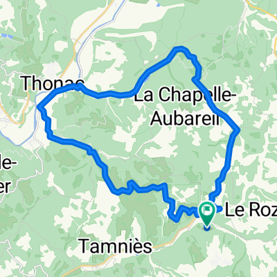
Cycling Route in Sarlat-la-Canéda, Aquitaine-Limousin-Poitou-Charentes, France

Tamnies1

0
Open this route in the Bikemap app

Open this route in the Bikemap app

Open this route in Bikemap Web

Open this route in Bikemap Web

93 km
Distance
1317 m
Ascent
1307 m
Descent
-:-- h
Duration
-- km/h
Avg. Speed
283 m
Max. Elevation

About This Route

Highlights Along The Route

Point of Interest

La table de Aubas Mittagessen

Customize this cycling route with the Bikemap route planner.

Make it yours!

Did you know? You can use this route as a template in our cycling route planner if you don't wish to start from scratch. Customize it based on your needs to plan your perfect cycling tour.

Open it in the app