Premium Badge Download on the App Store Get it on Google Play Turn-by-turn Navigation Offline Maps Bike Type Optimized Routing Premium Maps Custom Bike Computer Export Routes Route Previews Fall Detection Premium Support

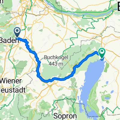
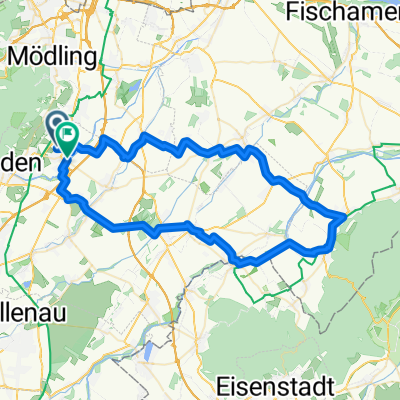
Cycling Route in Traiskirchen, Lower Austria, Austria

über den Anninger

1
Open this route in the Bikemap app

Open this route in the Bikemap app

Open this route in Bikemap Web

Open this route in Bikemap Web

25 km
Distance
492 m
Ascent
491 m
Descent
-:-- h
Duration
-- km/h
Avg. Speed
--- m
Max. Elevation

About This Route

Durch Gumpoldskirchen auf die Weinstraße Richtung Mödling, Abzweigung Richardshof nehmen.

Beim Richardshof der (nicht beschilderten) MTB Strecke "Anningerstrecke" richtung Breite Föhre, danach in die Kehre richtung Krauste Linde und Anningerschutzhaus folgen. Schöne Steigung!

Ab Wilhelmswarte leider den falschen Weg erwischt. Wolle die nicht beschilderte "Richardshof-Strecke" kam aber auf ziemlich steilen Waldwegerl endlich zur Einöde zurück.

This cycling route is ideal for: MTB

You will cycle on the following surfaces: Paved Unpaved Gravel

Customize this cycling route with the Bikemap route planner.

Make it yours!

Did you know? You can use this route as a template in our cycling route planner if you don't wish to start from scratch. Customize it based on your needs to plan your perfect cycling tour.

Open it in the app