
Cycling in Saint Paul
Discover a map of 471 cycling routes and bike trails near Saint Paul, created by our community.
Region portrait
Get to know Saint Paul
Find the right bike route for you through Saint Paul, where we've got 471 cycle routes to explore. Most people get on their bikes to ride here in the months of June and July.
20,197 km
Tracked distance
471
Cycle routes
285,068
Population
Community
Most active users in Saint Paul


From our community
The best bike routes in and around Saint Paul

River Ramble 20
Cycling route in Saint Paul, Minnesota, United States of America
~20 miles along the Mississippi.
The outbound leg uses trails along Shepard and Warner roads, to Upper Afton road. We would turn south through Battle Creek Park and make our way over fairly quiet roads along Hwy 61/10 down to the Mississippi River crossing at I-494.
We’d retu
- 29.6 km
- Distance
- 196 m
- Ascent
- 197 m
- Descent

B2B00368 55102 > 55417 via Shepard Rd, Godfrey, Minnehaha, River Pkwy
Cycling route in Saint Paul, Minnesota, United States of America
Take Kellog past 7th St, and veer right onto Eagle Pkwy.
Follow Eagle Pkwy down the hill to Shepard Rd (at the bottom of the hill).
On the river side of Shepard Rd is a bike path.
Take the Shepard Rd bike path all the way to Ford Pkwy. (Note: when you have to cross under 35E,
- 17.8 km
- Distance
- 96 m
- Ascent
- 119 m
- Descent

B2B00192 55102>55404viaShepherdRd/MissBlvd/WRiverPkwy/MidtwnGrnway
Cycling route in Saint Paul, Minnesota, United States of America
This route is decidedly longer but is far more interesting and faster. Very few stops compared to a cross town route. Take Shepherd Road West along the Mississippi River. You can either ride on the bike path or on the road. Follow Shepherd Rd. past 35E until it becomes East Mississippi River Blvd
- 21.8 km
- Distance
- 131 m
- Ascent
- 86 m
- Descent

Gateway State Trail
Cycling route in Saint Paul, Minnesota, United States of America
- 30 km
- Distance
- 115 m
- Ascent
- 69 m
- Descent
Discover more routes
 St Paul Gateway to: Brown’s creek to Stillwater and back .
- Distance
- 64.2 km
- Ascent
- 408 m
- Descent
- 409 m
- Location
- Saint Paul, Minnesota, United States of America
 B2B00024 55104 > 55121 via Big Rivers Trail
- Distance
- 16.8 km
- Ascent
- 174 m
- Descent
- 174 m
- Location
- Saint Paul, Minnesota, United States of America
 To the River Center
- Distance
- 17.1 km
- Ascent
- 117 m
- Descent
- 90 m
- Location
- Saint Paul, Minnesota, United States of America
 Way to Church
- Distance
- 13.2 km
- Ascent
- 54 m
- Descent
- 37 m
- Location
- Saint Paul, Minnesota, United States of America
 B2B00629 55102 < 55402 via Summit, River Road, West bank, Downtown
- Distance
- 15.5 km
- Ascent
- 82 m
- Descent
- 94 m
- Location
- Saint Paul, Minnesota, United States of America
 Como & Phalen Bike Way
- Distance
- 29 km
- Ascent
- 191 m
- Descent
- 191 m
- Location
- Saint Paul, Minnesota, United States of America
 Relaxed route in Saint Paul
- Distance
- 23 km
- Ascent
- 110 m
- Descent
- 101 m
- Location
- Saint Paul, Minnesota, United States of America
 B2B00170 55117>55104 via front, hamline ped bridge, griggs, and selby
- Distance
- 9 km
- Ascent
- 24 m
- Descent
- 10 m
- Location
- Saint Paul, Minnesota, United States of America
Routes to Saint Paul
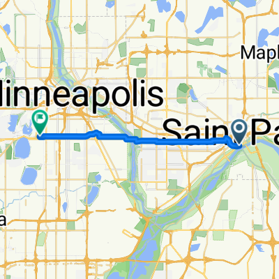
Cycling day trip from
Minneapolis to Saint Paul