
Cycling in Petoskey
Discover a map of 67 cycling routes and bike trails near Petoskey, created by our community.
Region portrait
Get to know Petoskey
Find the right bike route for you through Petoskey, where we've got 67 cycle routes to explore. Most people get on their bikes to ride here in the months of May and August.
2,758 km
Tracked distance
67
Cycle routes
5,670
Population
Community
Most active users in Petoskey


From our community
The best bike routes in and around Petoskey

Huron- Day 2- Petoskey to Mackinac Bridge
Cycling route in Petoskey, Michigan, United States of America
- 86.9 km
- Distance
- 229 m
- Ascent
- 230 m
- Descent

Petosky state park to Leggs Inn
Cycling route in Petoskey, Michigan, United States of America
52 miles
- 42.3 km
- Distance
- 307 m
- Ascent
- 295 m
- Descent

Crooked LK/Mackinaw
Cycling route in Petoskey, Michigan, United States of America
Could get on the Ferry and ride the island
- 124.8 km
- Distance
- 553 m
- Ascent
- 553 m
- Descent

N Western Michigan Trail, Petoskey to 7525 US-31, Alanson
Cycling route in Petoskey, Michigan, United States of America
- 18.9 km
- Distance
- 28 m
- Ascent
- 28 m
- Descent
Discover more routes
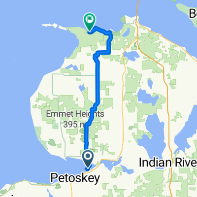
 Petoskey to Harbor Springs
- Distance
- 15.8 km
- Ascent
- 79 m
- Descent
- 93 m
- Location
- Petoskey, Michigan, United States of America
 Petoskey SP to Wilderness SP
- Distance
- 53 km
- Ascent
- 225 m
- Descent
- 236 m
- Location
- Petoskey, Michigan, United States of America
 1890 US-131, Petoskey to 702 S Nicolet St, Mackinaw City
- Distance
- 62.7 km
- Ascent
- 140 m
- Descent
- 236 m
- Location
- Petoskey, Michigan, United States of America
 Stanley Court 7083, Petoskey to Stanley Court 7127, Petoskey
- Distance
- 124.6 km
- Ascent
- 988 m
- Descent
- 983 m
- Location
- Petoskey, Michigan, United States of America
 1890 US-131, Petoskey to Lake Shore Dr, Charlevoix
- Distance
- 67.2 km
- Ascent
- 504 m
- Descent
- 603 m
- Location
- Petoskey, Michigan, United States of America
 Petoskey to 284 Harbor Dr E, Harbor Springs
- Distance
- 9.2 km
- Ascent
- 46 m
- Descent
- 61 m
- Location
- Petoskey, Michigan, United States of America
 601–799 W Lake St, Petoskey to 601–799 W Lake St, Petoskey
- Distance
- 314.7 km
- Ascent
- 274 m
- Descent
- 273 m
- Location
- Petoskey, Michigan, United States of America
 Woodland Avenue 2011, Petoskey to Bayside Avenue 1250, Petoskey
- Distance
- 81.1 km
- Ascent
- 706 m
- Descent
- 708 m
- Location
- Petoskey, Michigan, United States of America