
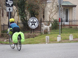
Cycling in Texas
Discover a map of 30,550 cycling routes and bike trails in Texas, created by our community.
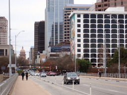
Region portrait
Get to know Texas
Find the right bike route for you through Texas, where we've got 30,550 cycle routes to explore. Most people get on their bikes to ride here in the months of April and May.
822,913 km
Tracked distance
30,550
Cycle routes
Community
Most active users in Texas


From our community
The best bike routes in Texas

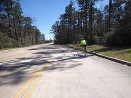
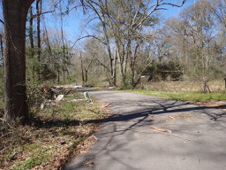
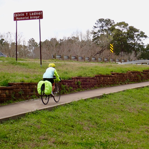
Conroe to Huntsville
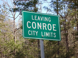
Cycling route in Conroe, Texas, United States of America
Thus was an outstanding route. With one exception, pretty much all of the busy Farm to Market roads had good or great road shoulder. And the country roads with zero traffic were very nice riding.
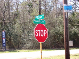
Only Rose Rd. near Willis had no shoulder and a little too much traffic.
- 71.6 km
- Distance
- 540 m
- Ascent
- 441 m
- Descent
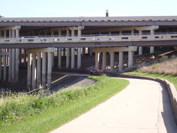

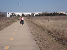
Conroe to Houston-West University Place
Cycling route in Conroe, Texas, United States of America
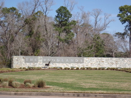
Getting onto the road, this was definitely a ride to get from point A to point B. There was only a relatively little road shoulder as well as some bicycle path both within the Woodlands and after getting into Houston along the White Oak Bayou Greenway. The bulk of the riding was on four lane roads w
- 83.3 km
- Distance
- 139 m
- Ascent
- 174 m
- Descent
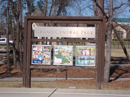

Conroe - Aborted Circle to Willis
Cycling route in Conroe, Texas, United States of America
We'd originally planned a nostalgic circle to Willis and back, but between being solely on urban roads plus a strong headwind, we passed on doing the entired planned circle.
Most of the roads we were on had relatively little traffic and no road shoulder.
This was our first time back to Conroe in a
- 22.2 km
- Distance
- 95 m
- Ascent
- 92 m
- Descent

Brenham to Hempstead
Cycling route in Brenham, Texas, United States of America
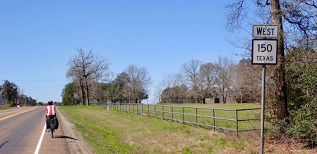
With the exception of the time spent on U.S. 290, all of this was on low or zero traffic roads. The time on 290 was due to there being no roads that can cross the Brazos River. With the very wide road shoulder on 290, it wasn't a problem. So, this is a great route.
- 41 km
- Distance
- 270 m
- Ascent
- 309 m
- Descent
Discover more routes
 Austin - Circle to McKinney Falls State Park
- Distance
- 40.3 km
- Ascent
- 360 m
- Descent
- 355 m
- Location
- Rollingwood, Texas, United States of America
 Austin - Circle Southeast to Richard Moya Park
- Distance
- 47.2 km
- Ascent
- 288 m
- Descent
- 288 m
- Location
- Rollingwood, Texas, United States of America
 Houston-West University Place to Conroe
- Distance
- 83.5 km
- Ascent
- 203 m
- Descent
- 174 m
- Location
- Southside Place, Texas, United States of America
 Austin to Giddings
- Distance
- 113.7 km
- Ascent
- 492 m
- Descent
- 529 m
- Location
- Rollingwood, Texas, United States of America
 Austin - Circle thru Lost Creek Blvd to Barton Creek and Costco
- Distance
- 41.4 km
- Ascent
- 572 m
- Descent
- 572 m
- Location
- Rollingwood, Texas, United States of America
 Austin - Random Riding in Neighborhood North of MUNY Golf Course
- Distance
- 18.7 km
- Ascent
- 290 m
- Descent
- 290 m
- Location
- Rollingwood, Texas, United States of America
 Austin - Circle to MT Supermarket and Walnut Creek
- Distance
- 49.2 km
- Ascent
- 414 m
- Descent
- 413 m
- Location
- Rollingwood, Texas, United States of America
 Austin - Circle to Northeast
- Distance
- 36.4 km
- Ascent
- 270 m
- Descent
- 276 m
- Location
- Rollingwood, Texas, United States of America
Cycling regions in Texas
Palm Valley
18 cycling routes
Rhome
1 cycling route
Junction
1 cycling route
Buffalo
1 cycling route
See where people are biking in United States of America
Popular cycling regions in United States of America
- United States of AmericaDelaware
- United States of AmericaConnecticut
- United States of AmericaNew York
- United States of AmericaNebraska
- United States of AmericaNew Jersey