
Cycling in Reinickendorf
Discover Reinickendorf by bike with routes created by our community.
Region portrait
Get to know Reinickendorf
Find the right bike route for you through Reinickendorf, where we've got 674 cycle routes to explore. The routes you most commonly find here are of the flat type. Most people get on their bikes to ride here in the months of April and May.
19,657 km
Tracked distance
674
Cycle routes
75,414
Population
Community
Most active users in Reinickendorf
From our community
The best bike routes in Reinickendorf
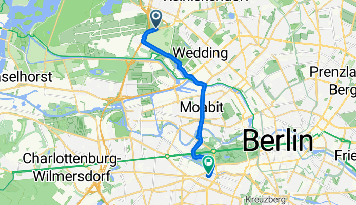
Kurt-Schumacher-Damm 96–124, Berlin nach Wichmannstraße 8, Berlin
Cycling route in Reinickendorf, Land Berlin, Germany
- 9.4 km
- Distance
- 134 m
- Ascent
- 143 m
- Descent

Scharnweberstraße 54, Berlin to Scharnweberstraße 55, Berlin
Cycling route in Reinickendorf, Land Berlin, Germany
- 16.5 km
- Distance
- 236 m
- Ascent
- 283 m
- Descent

Gotthardstraße 33, Berlin nach Eisenhammerweg 20, Berlin
Cycling route in Reinickendorf, Land Berlin, Germany
- 7.3 km
- Distance
- 23 m
- Ascent
- 19 m
- Descent

Reinickendorfer Runde (Reinickendorf / Tegel)
Cycling route in Reinickendorf, Land Berlin, Germany
Kleiner Rundkurs durch Berlin Reinickendorf
entlang am Nordgraben<br /> und am Tegeler See
- 15.8 km
- Distance
- 27 m
- Ascent
- 27 m
- Descent
Discover more routes
 Afrikanische Straße 148–150, Berlin nach Welfenallee 38, Berlin
- Distance
- 11.4 km
- Ascent
- 48 m
- Descent
- 31 m
- Location
- Reinickendorf, Land Berlin, Germany
 Trekking Babies #1 Gatow-Mission
- Distance
- 24.2 km
- Ascent
- 110 m
- Descent
- 97 m
- Location
- Reinickendorf, Land Berlin, Germany
 Trekking Babies
- Distance
- 47.1 km
- Ascent
- 211 m
- Descent
- 221 m
- Location
- Reinickendorf, Land Berlin, Germany
 Moderate Route
- Distance
- 2.8 km
- Ascent
- 32 m
- Descent
- 24 m
- Location
- Reinickendorf, Land Berlin, Germany
 Tour de Jungferheide
- Distance
- 15.1 km
- Ascent
- 493 m
- Descent
- 485 m
- Location
- Reinickendorf, Land Berlin, Germany
 Alt-Reinickendorf 29, Berlin nach Berliner Straße 45, Hennigsdorf
- Distance
- 36.6 km
- Ascent
- 183 m
- Descent
- 202 m
- Location
- Reinickendorf, Land Berlin, Germany
 Scharnweberstraße 138, Berlin nach Rembrandtstraße 22, Berlin
- Distance
- 13.1 km
- Ascent
- 60 m
- Descent
- 97 m
- Location
- Reinickendorf, Land Berlin, Germany
 Scharnweberstraße 19, Berlin nach Rembrandtstraße 22, Berlin
- Distance
- 13 km
- Ascent
- 41 m
- Descent
- 81 m
- Location
- Reinickendorf, Land Berlin, Germany
Routes from Reinickendorf
Quick ride by bicycle from
Reinickendorf to Pankow
Routes to Reinickendorf
Quick ride by bicycle from
Pankow to Reinickendorf