
Cycling in Tiefenort
Discover a map of 39 cycling routes and bike trails near Tiefenort, created by our community.
Region portrait
Get to know Tiefenort
Find the right bike route for you through Tiefenort, where we've got 39 cycle routes to explore. Most people get on their bikes to ride here in the months of May and September.
1,896 km
Tracked distance
39
Cycle routes
4,268
Population
Community
Most active users in Tiefenort


From our community
The best bike routes in and around Tiefenort

Himmelfahrt 2016
Cycling route in Tiefenort, Free State of Thuringia, Germany
Hämbach, Oechsenberg, Dietrichsberg, Willmans, Stadtlengsfeld, Hundskopf, Hämbach
- 43.2 km
- Distance
- 1,108 m
- Ascent
- 1,102 m
- Descent

Ostern 2016
Cycling route in Tiefenort, Free State of Thuringia, Germany
Ostertour, Felda Radweg, kaltennordheim durch die Röhn zurück
- 67.1 km
- Distance
- 911 m
- Ascent
- 911 m
- Descent

Werra und zurück nach Erfurt
Cycling route in Tiefenort, Free State of Thuringia, Germany
Von Tiefenort über den Krayenberg nach Kieselbach und weiter zur Stadt Vacha. Hier einen Abstecher nach Unterbreizbach und danach wieder auf den Werratalradweg weiter nach Heringen. Der n&a
- 150.9 km
- Distance
- 904 m
- Ascent
- 883 m
- Descent

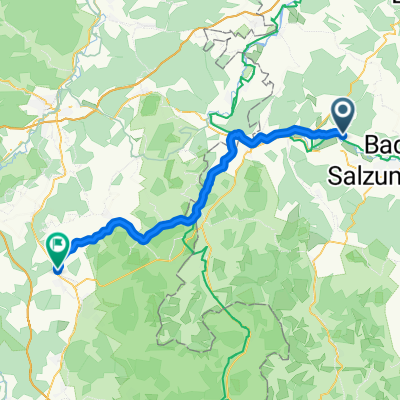
Auf der Krayenburg, Tiefenort nach Eichendorffstraße 13, Bad Salzungen
Cycling route in Tiefenort, Free State of Thuringia, Germany
- 24.1 km
- Distance
- 304 m
- Ascent
- 310 m
- Descent
Discover more routes
 Zeppelinstein-Hetzeberg-Frauensee-Kiba-Unterrohn
- Distance
- 30.5 km
- Ascent
- 475 m
- Descent
- 490 m
- Location
- Tiefenort, Free State of Thuringia, Germany
 Route von Schulgasse 5, Tiefenort
- Distance
- 10.3 km
- Ascent
- 156 m
- Descent
- 126 m
- Location
- Tiefenort, Free State of Thuringia, Germany
 Von Tiefenort wieder heim
- Distance
- 45.9 km
- Ascent
- 287 m
- Descent
- 271 m
- Location
- Tiefenort, Free State of Thuringia, Germany
 Nach der Pizza wieder Heim
- Distance
- 46.5 km
- Ascent
- 325 m
- Descent
- 305 m
- Location
- Tiefenort, Free State of Thuringia, Germany
 Bad Salzungen-Geisa Runde
- Distance
- 69.3 km
- Ascent
- 622 m
- Descent
- 563 m
- Location
- Tiefenort, Free State of Thuringia, Germany
 Suhltal
- Distance
- 23.1 km
- Ascent
- 148 m
- Descent
- 171 m
- Location
- Tiefenort, Free State of Thuringia, Germany
 Waterkup Mod Katrin
- Distance
- 130.3 km
- Ascent
- 1,178 m
- Descent
- 1,181 m
- Location
- Tiefenort, Free State of Thuringia, Germany
 Von Merkers zurück nach Erfurt
- Distance
- 93.9 km
- Ascent
- 610 m
- Descent
- 660 m
- Location
- Tiefenort, Free State of Thuringia, Germany