
Cycling in Thaur
Discover a map of 165 cycling routes and bike trails near Thaur, created by our community.
Region portrait
Get to know Thaur
Find the right bike route for you through Thaur, where we've got 165 cycle routes to explore. Most people get on their bikes to ride here in the months of April and May.
23,692 km
Tracked distance
165
Cycle routes
Community
Most active users in Thaur
Handpicked routes
Discover Thaur through these collections
- Tour
 Tour
Tour Tour
Tour- Tour
From our community
The best bike routes in and around Thaur

Isarradweg_-_aktuell_beschildert
Cycling route in Thaur, Tyrol, Austria
- 292.7 km
- Distance
- 748 m
- Ascent
- 1,589 m
- Descent


Isarradweg_-_aktuell_beschildert
Cycling route in Thaur, Tyrol, Austria
- 293.1 km
- Distance
- 748 m
- Ascent
- 1,589 m
- Descent

Thaur - Neufahrn bei Freising
Cycling route in Thaur, Tyrol, Austria
- 154.3 km
- Distance
- 147 m
- Ascent
- 848 m
- Descent
Discover more routes
- All routes in Thaur
- Round trips
- Relaxed
- Gravel
- Road
- MTB
- Trekking
- Vers. 1CR Mittenwald, Isarquelle, Hallangerhaus, Überschalljoch0
- 116.7 km
- 1,200 m
- 1,867 m
- Thaur, Tyrol, Austria


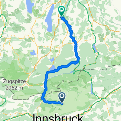

Routes to Thaur
Cycling day trip from
Mittenwald to Thaur
Cycling day trip from
Scharnitz to Thaur