
Cycling in Alsager
Discover a map of 18 cycling routes and bike trails near Alsager, created by our community.
Region portrait
Get to know Alsager
Find the right bike route for you through Alsager, where we've got 18 cycle routes to explore.
471 km
Tracked distance
18
Cycle routes
14,494
Population
Community
Most active users in Alsager


From our community
The best bike routes in and around Alsager

56 Sandbach Road South, Stoke-On-Trent to 9–31 Newtons Lane, Winterley, Sandbach
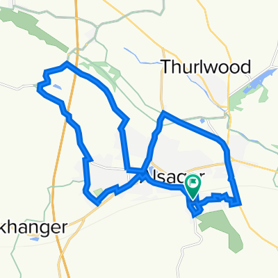
Cycling route in Alsager, England, United Kingdom
- 7.5 km
- Distance
- 0 m
- Ascent
- 35 m
- Descent


Mill Lane, Haslington to Bessemer Way 10
Cycling route in Alsager, England, United Kingdom
- 15.5 km
- Distance
- 87 m
- Ascent
- 119 m
- Descent

16.5 mile from Bude Close
Cycling route in Alsager, England, United Kingdom
- 26.6 km
- Distance
- 97 m
- Ascent
- 98 m
- Descent
Discover more routes
 17km Ride
- Distance
- 17.1 km
- Ascent
- 80 m
- Descent
- 81 m
- Location
- Alsager, England, United Kingdom
 Alsager to Llandudno
- Distance
- 137.9 km
- Ascent
- 725 m
- Descent
- 819 m
- Location
- Alsager, England, United Kingdom
 TEST 2 Mow Cop GPS
- Distance
- 16.1 km
- Ascent
- 238 m
- Descent
- 194 m
- Location
- Alsager, England, United Kingdom
 Test
Test- Distance
- 26.4 km
- Ascent
- 70 m
- Descent
- 107 m
- Location
- Alsager, England, United Kingdom
 11 Barn Field Way, Stoke-On-Trent to 296 Milton Road, Stoke-On-Trent
- Distance
- 15.7 km
- Ascent
- 168 m
- Descent
- 114 m
- Location
- Alsager, England, United Kingdom
 1 Crewe Road, Stoke-on-Trent to 148 High Street, Stoke-on-Trent
- Distance
- 8.3 km
- Ascent
- 147 m
- Descent
- 29 m
- Location
- Alsager, England, United Kingdom
 Alsager, Stoke-On-Trent to 7 Lawton Heath Road, Stoke-On-Trent
- Distance
- 2.4 km
- Ascent
- 9 m
- Descent
- 13 m
- Location
- Alsager, England, United Kingdom
 Grove Avenue 8, Church Lawton to Grove Avenue 4, Church Lawton
- Distance
- 0.1 km
- Ascent
- 2 m
- Descent
- 1 m
- Location
- Alsager, England, United Kingdom