
Cycling in Arundel
Discover a map of 78 cycling routes and bike trails near Arundel, created by our community.
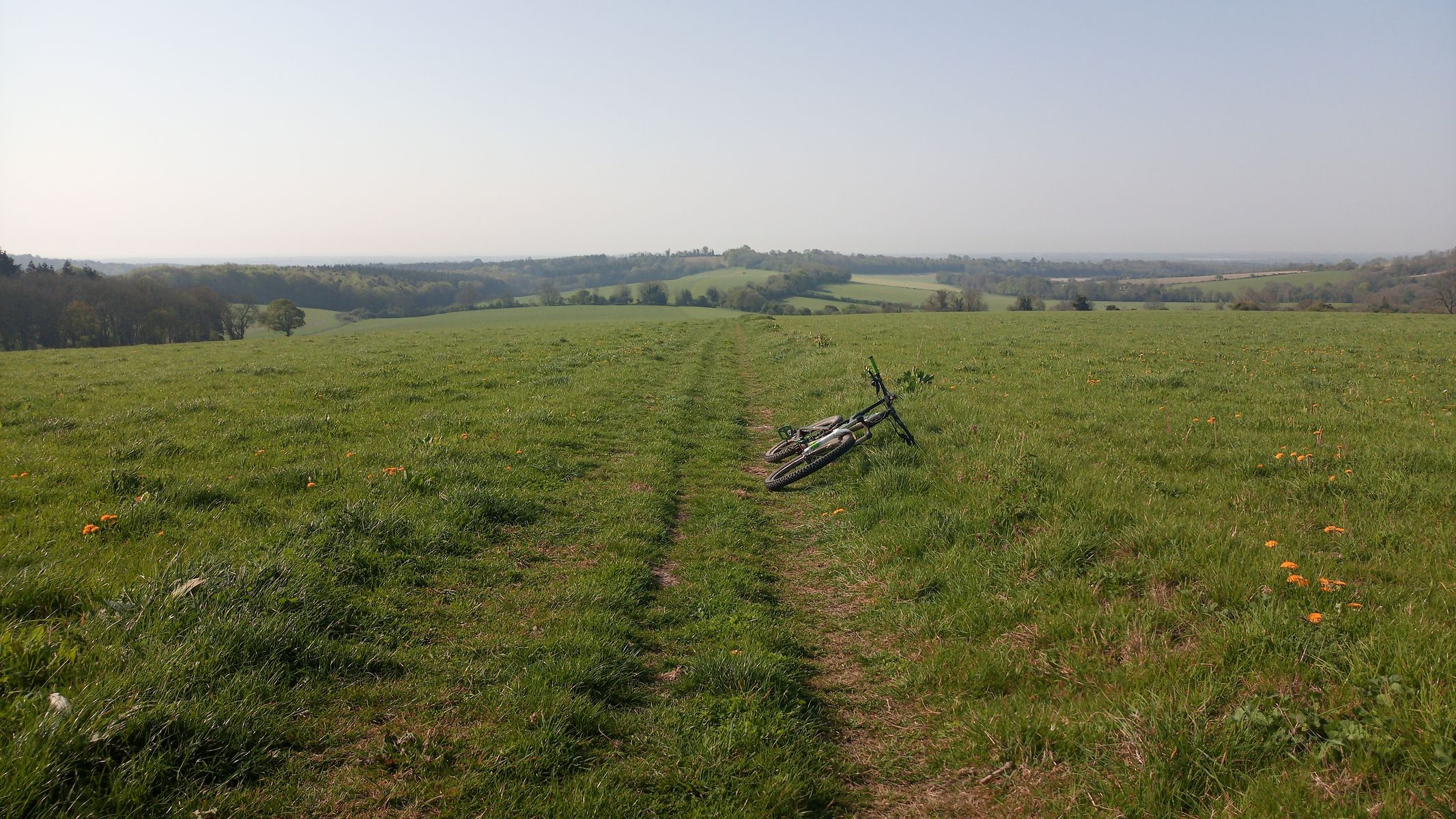
Region portrait
Get to know Arundel
Find the right bike route for you through Arundel, where we've got 78 cycle routes to explore. Most people get on their bikes to ride here in the month of April.
3,008 km
Tracked distance
78
Cycle routes
3,370
Population


From our community
The best bike routes in and around Arundel

Amberley-loop-54kms
Cycling route in Arundel, England, United Kingdom
Loop around Amberley, from train station.
- 54 km
- Distance
- 824 m
- Ascent
- 825 m
- Descent

Training Route : -) Bury 23er - Bury - Amberley - Greatham - Coates - West Burton - Bury
Cycling route in Arundel, England, United Kingdom
<span style="font-family: Arial; color: #000000; font-size: small;">This is my favourite cycle route of the area. It links some good quite county lanes with some minor roads. Traffic is light even on the minor roads and the country lanes are a pleasure to ride. There are a couple of small c
- 23.1 km
- Distance
- 185 m
- Ascent
- 188 m
- Descent

Amberley to Brighton 31.8.14
Cycling route in Arundel, England, United Kingdom
Caught train to Amberley. First half of journey was off road. Then dropped down to Shoreham on The Downs Link. Finally, took cycle route on roads all the way ot Brighton Train Station
- 37.9 km
- Distance
- 455 m
- Ascent
- 415 m
- Descent


Houghton & Eartham Woods
Cycling route in Arundel, England, United Kingdom
Basic loop, mostly singletrack with a bit of open Downs & field work
- 28.3 km
- Distance
- 447 m
- Ascent
- 447 m
- Descent
Discover more routes
 Whiteways to The Black Rabbit
- Distance
- 8.8 km
- Ascent
- 113 m
- Descent
- 186 m
- Location
- Arundel, England, United Kingdom
 trasa dla dominika cz 1
- Distance
- 38.2 km
- Ascent
- 609 m
- Descent
- 421 m
- Location
- Arundel, England, United Kingdom
 Ford 2 Christs Hospital
- Distance
- 60.3 km
- Ascent
- 179 m
- Descent
- 137 m
- Location
- Arundel, England, United Kingdom
 Arundel - Totland Bay
- Distance
- 112 km
- Ascent
- 317 m
- Descent
- 293 m
- Location
- Arundel, England, United Kingdom
 Bury Reverse 52er
- Distance
- 52.1 km
- Ascent
- 325 m
- Descent
- 323 m
- Location
- Arundel, England, United Kingdom
 National South Downs Way part-2 (water waypoints)
- Distance
- 80.6 km
- Ascent
- 1,252 m
- Descent
- 1,205 m
- Location
- Arundel, England, United Kingdom
 National South Downs Way part-2.1
- Distance
- 46.9 km
- Ascent
- 809 m
- Descent
- 806 m
- Location
- Arundel, England, United Kingdom
 Bury 67k Loop
- Distance
- 66.7 km
- Ascent
- 437 m
- Descent
- 437 m
- Location
- Arundel, England, United Kingdom