Cycling in Whaley Bridge
Discover a map of 44 cycling routes and bike trails near Whaley Bridge, created by our community.
Region portrait
Get to know Whaley Bridge
Find the right bike route for you through Whaley Bridge, where we've got 44 cycle routes to explore. Most people get on their bikes to ride here in the month of July.
1,557 km
Tracked distance
44
Cycle routes
4,754
Population
Community
Most active users in Whaley Bridge
From our community
The best bike routes in and around Whaley Bridge
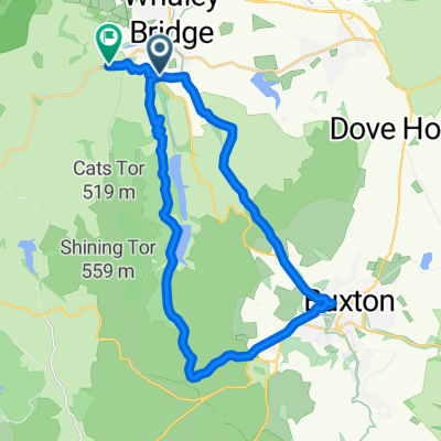
Buxton Cycling Club HC (J9/13)
Cycling route in Whaley Bridge, England, United Kingdom
Long Hill. Usually held in September. Course record is 12.27.7 set in 2010.
- 7 km
- Distance
- 252 m
- Ascent
- 38 m
- Descent
Long Hill from Whalley Bridge
Cycling route in Whaley Bridge, England, United Kingdom
A long steady slog of no more than 10% but difficult if windy. Turn right at top to Goyt Valley and the Cat & Fiddle or carry on down to Buxton
- 7.7 km
- Distance
- 296 m
- Ascent
- 47 m
- Descent
Whaley Bridge / New Mills MTB
Cycling route in Whaley Bridge, England, United Kingdom
32 Mile MTB Route with mixed terrain and over 5000ft of Climb
- 49.7 km
- Distance
- 1,002 m
- Ascent
- 1,011 m
- Descent
Many hills
Cycling route in Whaley Bridge, England, United Kingdom
- 20.4 km
- Distance
- 510 m
- Ascent
- 507 m
- Descent
Discover more routes
 Goyt Goyt
- Distance
- 32.5 km
- Ascent
- 615 m
- Descent
- 614 m
- Location
- Whaley Bridge, England, United Kingdom
 Hockerley Lane 4, Whaley Bridge to Stockport Road 27, Marple
- Distance
- 10.4 km
- Ascent
- 188 m
- Descent
- 305 m
- Location
- Whaley Bridge, England, United Kingdom
 Bugsworth Basin 60a, Buxworth to Bugsworth Basin 60a, Buxworth
- Distance
- 65 km
- Ascent
- 570 m
- Descent
- 625 m
- Location
- Whaley Bridge, England, United Kingdom
 Errwood from whaley
- Distance
- 33.2 km
- Ascent
- 620 m
- Descent
- 607 m
- Location
- Whaley Bridge, England, United Kingdom
 Whaley Bridge - Snake Pass - Mam Tor
- Distance
- 79.1 km
- Ascent
- 941 m
- Descent
- 953 m
- Location
- Whaley Bridge, England, United Kingdom
 Buxton - West Peak
- Distance
- 25.2 km
- Ascent
- 617 m
- Descent
- 546 m
- Location
- Whaley Bridge, England, United Kingdom
 Bugsworth Basin 60a, Buxworth to Dyche Street 15
- Distance
- 37.6 km
- Ascent
- 223 m
- Descent
- 382 m
- Location
- Whaley Bridge, England, United Kingdom
 Buxton Road 37a to Strines Road 71, Marple
- Distance
- 10.7 km
- Ascent
- 76 m
- Descent
- 128 m
- Location
- Whaley Bridge, England, United Kingdom


