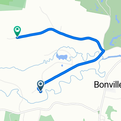
Bongil Bongil National Park explore
Eine Fahrradroute, die in Bonville, New South Wales, Australien beginnt.
Übersicht
Über diese Route
Bongil Bongil Nartional Park has a whole network of dirt roads and trails that we had never explored. This route was just a taster.
We parked the car on Pine creek way and set off down Overhead bridge forest road. We continued along this road past the gate preventing motorised traffic from going further. The map shows two tracks, the Western peninsula trail the Eastern peninsula trail. Of these the former was very overgrown and not readily rideable. However the Eastern trail was easy going with only a few sticks to watch out for. At the end of the fire trail a single track mountain bike trail leads off through the scrub towards the beach. We were able to ride this most of the way before the sand became a bit tedious for our touring bikes and we dumped them (and the gps device) and walked the last bit of the path through to the beach. Here we discovered that it is signposted so it would be possible to find the path from the beach, very useful if trying to find the path from a ride along the beach.
- -:--
- Dauer
- 21,1 km
- Distanz
- 123 m
- Aufstieg
- 123 m
- Abstieg
- ---
- Ø-Tempo
- ---
- Max. Höhe
Erstellt vor 4 Jahren
Fotos von der Route
Weiter mit Bikemap
Diese Radroute verwenden, bearbeiten oder herunterladen
Du möchtest Bongil Bongil National Park explore fahren oder sie für deine eigene Reise anpassen? Folgendes kannst du mit dieser Bikemap-Route machen:
Gratis Funktionen
- Speichere diese Route als Favorit oder in einer Sammlung
- Kopiere & plane deine eigene Version dieser Route
- Synchronisiere deine Route mit Garmin oder Wahoo
Premium-Funktionen
Kostenlose Testversion für 3 Tage oder einmalige Zahlung. Mehr über Bikemap Premium.
- Navigiere diese Route auf iOS & Android
- Exportiere eine GPX / KML-Datei dieser Route
- Erstelle deinen individuellen Ausdruck (Jetzt kostenlos ausprobieren)
- Lade diese Route für die Offline-Navigation herunter
Entdecke weitere Premium-Funktionen.
Bikemap Premium aktivierenVon unserer Community
Bonville: Andere beliebte Routen, die hier beginnen
- Coffs 2 day 2nd day
- 13,3 km
- 175 m
- 172 m
- Bonville, New South Wales, Australien
- Annie to home
- 5 km
- 47 m
- 66 m
- Bonville, New South Wales, Australien
- Bellingen Tandem Ride
- 14,7 km
- 257 m
- 252 m
- Bonville, New South Wales, Australien
- 51–53 Butlers Rd, Bonville to 345 Pacific Highway, Coffs Harbour
- 13,9 km
- 141 m
- 155 m
- Bonville, New South Wales, Australien
- Annie's
- 5,2 km
- 61 m
- 102 m
- Bonville, New South Wales, Australien
- 1km Run- Day 1
- 1 km
- 13 m
- 8 m
- Bonville, New South Wales, Australien
- Route from 50 Keoghs Road, Bonville
- 13,7 km
- 179 m
- 181 m
- Bonville, New South Wales, Australien
In der App öffnen


