Radroute in Muralto, Kanton Tessin, Schweiz
Alpe di Neggia
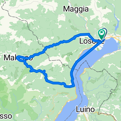
35

Route in der Bikemap App öffnen

Diese Route in Bikemap Web öffnen
82
km
Distanz
Distanz
1252
m
Aufstieg
Aufstieg
1257
m
Abstieg
Abstieg
-:--
h
Dauer
Dauer
--
km/h
ø-Tempo
ø-Tempo
---
m
Max. Höhe
Max. Höhe